Detachable Subdivision
"Rivne Professional College of
National University of Life
and Environmental Sciences of Ukraine"
One of the leading colleges that trains future land surveying engineers at a high level is the Separate Structural Unit "Rivne Professional College of NUBiP of Ukraine". College students have access to modern professional geodetic instruments and drones for aerial photography. Training programs include practical trips, mastering 3D modeling and the latest GIS technologies. Teachers maintain close ties with the base university, employers and foreign scientists, which allows them to quickly implement the results of the latest research into the educational process.
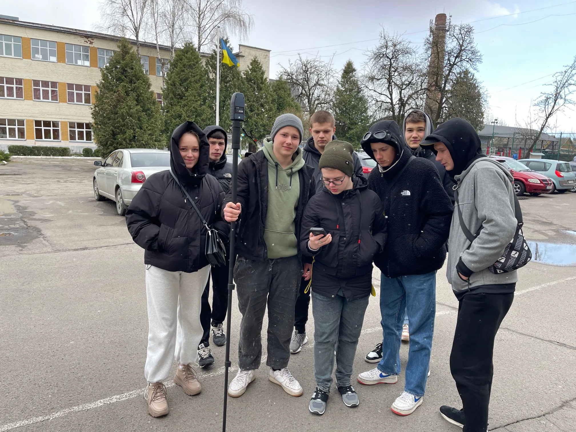
From April 7 to 11, eleven students of the Separate Structural Unit "Professional College of Geodesy and Land Management of the Polesie National University" and accompanying teachers: SAMCHUK Yuriy and SHEVCHUK Anatoliy underwent training in automated surveying of territories on the basis of the training and practical center for land management of our college. The purposeThe purpose of the internship was to study modern high-precision technologies for collecting geospatial data and gain practical skills in working with modern geodetic equipment: electronic total stations, geodetic GNSS systems, and unmanned aerial vehicles. The internship was conducted by experienced teachers from our training and practical center: Serhiy BULAKEVYCH and Oleg KACHANOVSKY.
The internship program provides for:
- Study of the structure and principles of operation of modern electronic geodetic instruments;
- Working with various types of electronic total stations;
- Performing field geodetic work using electronic total stations Sokkia SET 510 and South NTS-352R;
- Obtaining practical skills in processing geodetic works in the "Digitals" software package;
- Obtaining practical skills in creating digital cadastral plans of land plots in the "Digitals" software package;
- Introduction to geodetic GNSS technologies for collecting geospatial data;
- Performing field geodetic work using the AlphaGEO Geopuls geodetic GNSS receiver in various modes (including RTK);
Lecturer Oleksandr KUSHNIRUK introduced the candidates to the technologies for creating orthophotomaps using geodetic drones and held a master class on practical UAV piloting.


Serhiy BULAKEVYCH
